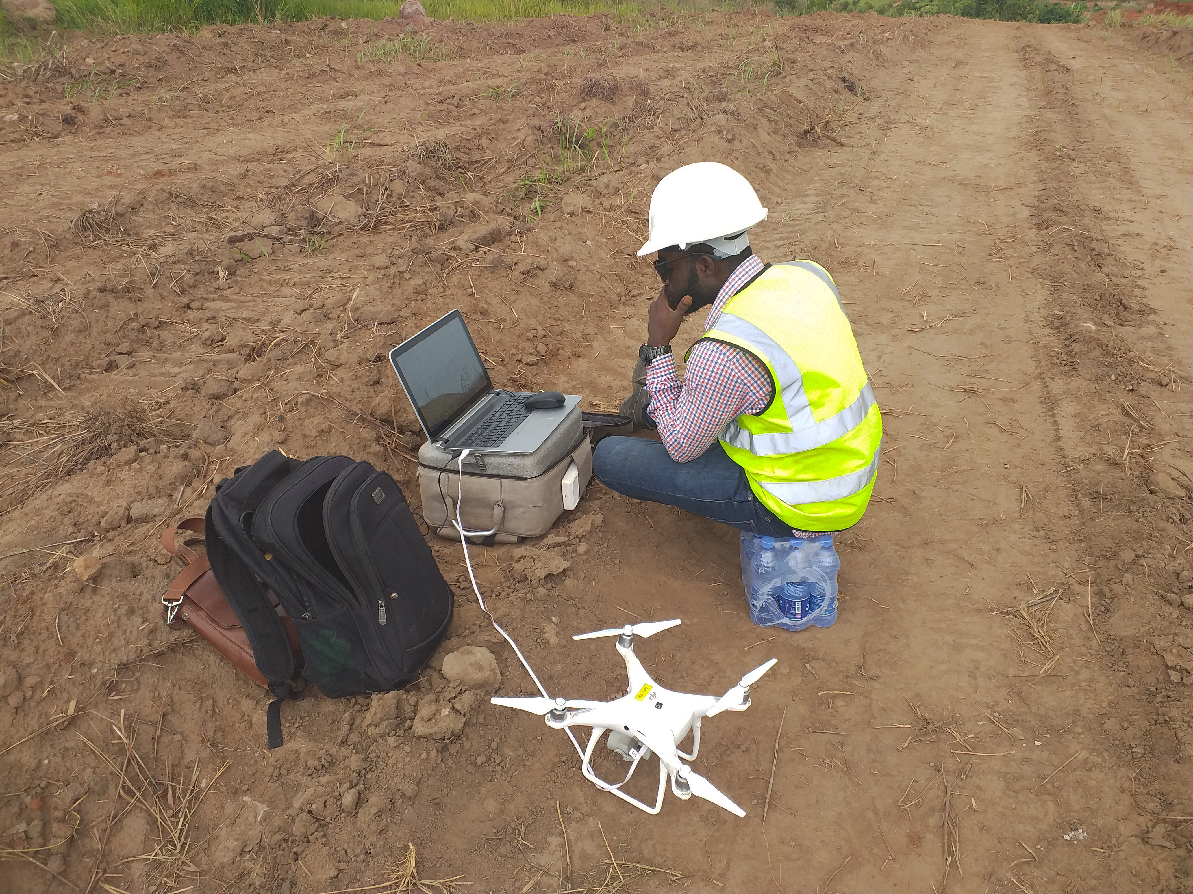
Aerial photography
Photomap provide advanced Drone Aerial Surveys inclusive of
high accuracy/resolution Orthophoto, DTM, Contours and Line/Vector mapping.
Stockholm Casino Välkomstbonus För insättningar och uttag kan spelarna använda sådana betalningsmetoder som Visa, MasterCard, Amex, Ukash, Neteller, Sofort, ECO, Skrill, etc. Online Casino Bra Utbetalning Dessa inkluderar fyra kort poker, Key Bet Roulette, monopol Roulette heta egenskaper, monopol Roulette Tycoon. 5 Lions Spilleautomat Svenska
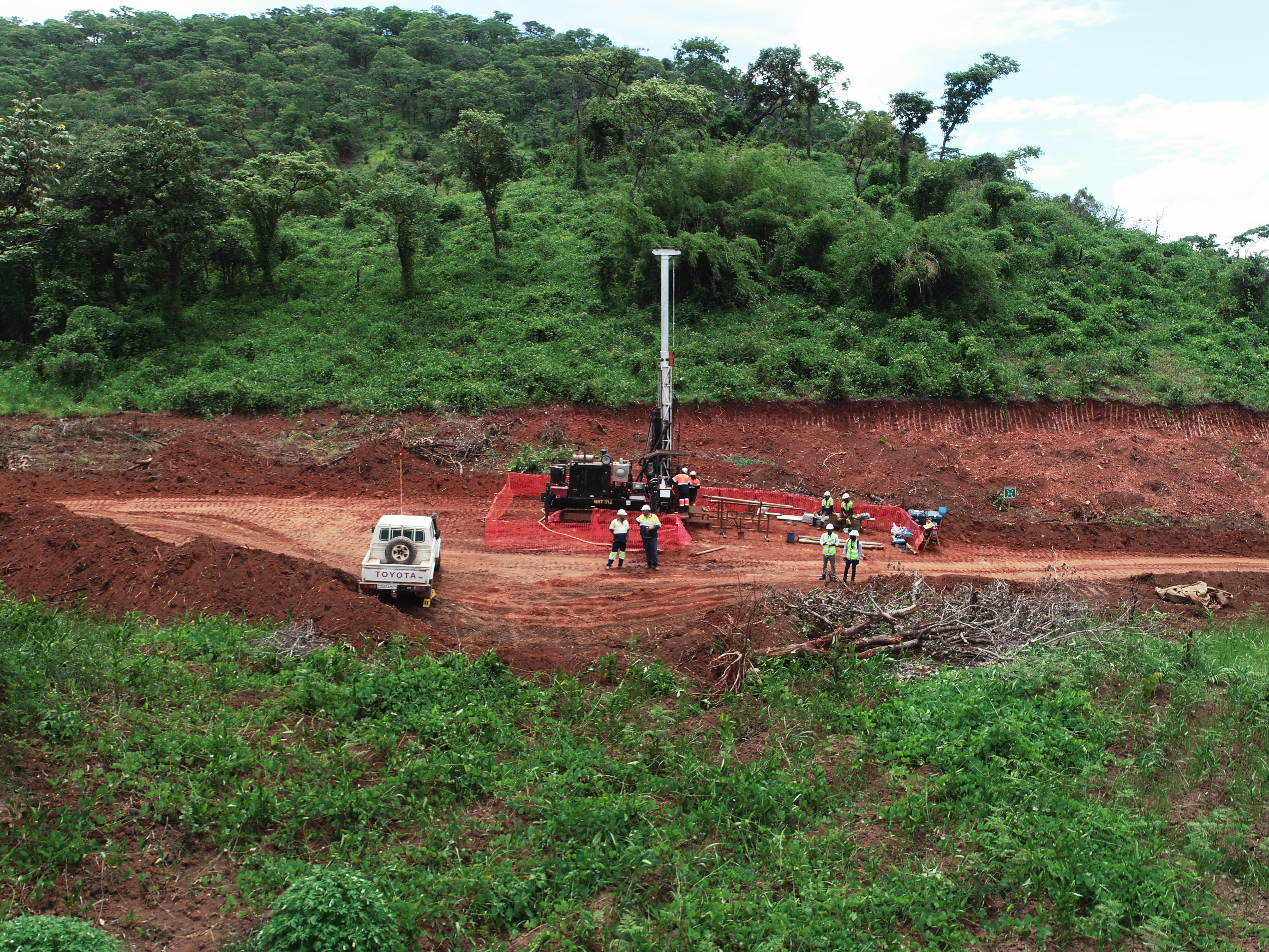
Photomap provide advanced Drone Aerial Surveys inclusive of
high accuracy/resolution Orthophoto, DTM, Contours and Line/Vector mapping.